Arta
About Prefecture of Arta
The regional unit of Arta is located north of the Ambracian Gulf. The main mountain ranges are the Athamanika in the northeast, the Pindus in the east, and Valtou in the southeast. Only one mountain road links Arta with the Pineios valley and Thessaly. There are low-lying agricultural plains in the west. Arta borders on the regional units of Preveza in the west, Ioannina to the north, Trikala in the east, Karditsa to the east and Aetolia-Acarnania to the south. The main rivers are the Acheloos in the east, the Arachthos in the centre, and the Louros in the west.
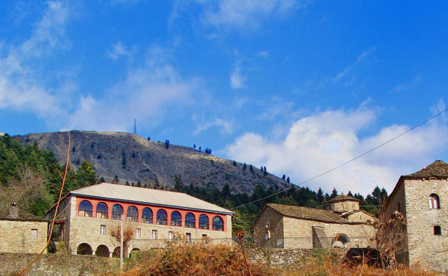
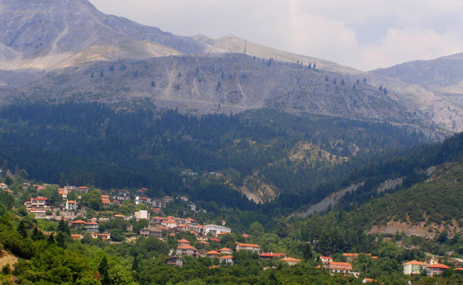
Most of the population lives in the west, in the Arachthos valley, south and east of Arta. The Athamanika and Valtou mountains are the least populated. To the north, the magnificent Tzoumerka and Radovyzia mountains are dotted with charming villages and offer endless opportunity for hikes and walking trails amidst ravishing scenery including streams, plane trees and fir-tree forests, waterfalls and arched stone-bridges.
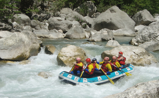
The untamed waters of the Arachthos river intersect huge mountain masses and breathtaking gorges on the Tzoumerka mountains and delight extreme-sports enthusiasts who can combine adventure with an idyllic stay at some tranquil mountain village. The prefecture of Arta is a land with friendly and hospitable people, always beguiling visitors with its unspoiled nature and hidden charms.
The Arta City
The capital city of Arta, sharing the same name as the prefecture, is steeped in history. The modern town has been built on the ruins of Ancient Amvrakia, where in 295 BC the mighty King Pyrrhus of Epirus transferred the capital of his kingdom. During the late Byzantine era, Arta became the capital of the Despotate of Epirus. Its rich Byzantine past can be traced today via its many monuments that stand as a testament to its history and culture.
Archaeological sites and Monuments
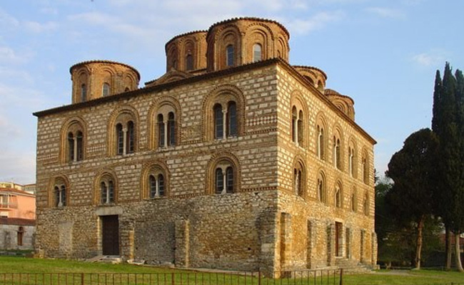
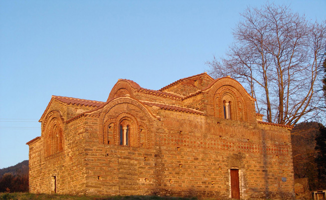
Arta has many 12th and 13th century churches, fine examples of Byzantine art, most famous of which are the Church of Panagia Parigoritissa (built during the reign of the dynasty of Comnenos Doukas in an architectural style unique throughout the Balkans); the church of Saint Theodora (the wife of Despot Michael II Comnenos); the domed basilica of Panagia of Vlacherna lavishly decorated with 13th century frescos (it contains the tombs of the Byzantine Despots); the 13th century Abbey of Kato Panagia and a church dedicated to Agios Vasilios, both decorated with splendid frescoes of the same era.
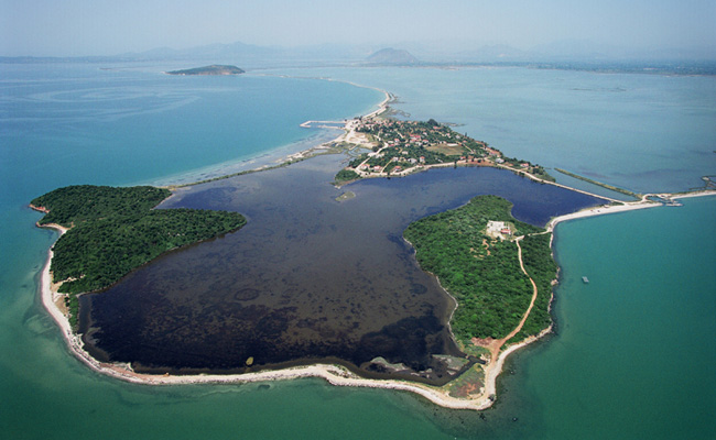
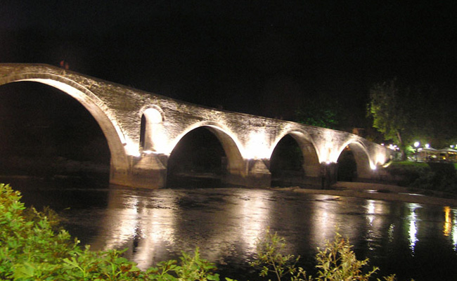
The famous landmark of Arta, its centuries-old, legendary stone-bridge spanning the width of Arachthos river, is a visual delight dominating the western entrance to the city. At a short distance to the south, the Amvrakikos Gulf, a place of unique beauty with fertile lagoons and wetlands protected by the RAMSAR Convention, is one of the major wintering grounds of waterfowl in Eastern Mediterranean.
Demographic Details of Perfecture of Arta
- Area (sq.km): 1.662
- Population (2001): 77.334
- Population Density(hab/sq.km): 47
- Capital City: Arta
